Image register
Every image carries its provenance.
The visual language uses genuine archival cartography sparingly. Every asset is local, credited, rights-checked, and registered with a checksum.
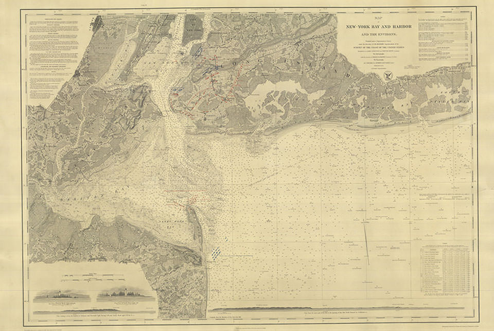
NOAA chart · public domain
Map of New York Bay and Harbor from 1845
| Date | 1845 |
|---|---|
| Creator | Not stated on the NOAA fact-page record |
| Institution | NOAA National Ocean Service, Office of Coast Survey |
| Collection | Historical Map and Chart Collection |
| Rights | Public domain |
| Requested credit | Provided by NOAA Office of Coast Survey |
| Pages used | Home hero; Image Credits |
| Local file | assets/maps/new-york-bay-1845.jpg |
| SHA-256 | 799de94d4b810e77dc84cf90c654b2e25f9ec96dbe10ef0651ea186b3071c516 |
NOAA source page ↗NOAA image file ↗NOAA rights statement ↗Collection metadata ↗
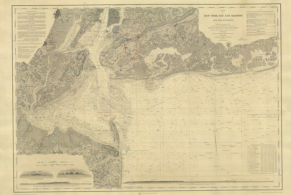
Machine-readable record
Credits are part of the site data.
The structured register is available atdata/image-credits.json. The human-readable archival copy isassets/IMAGE_CREDITS.md.